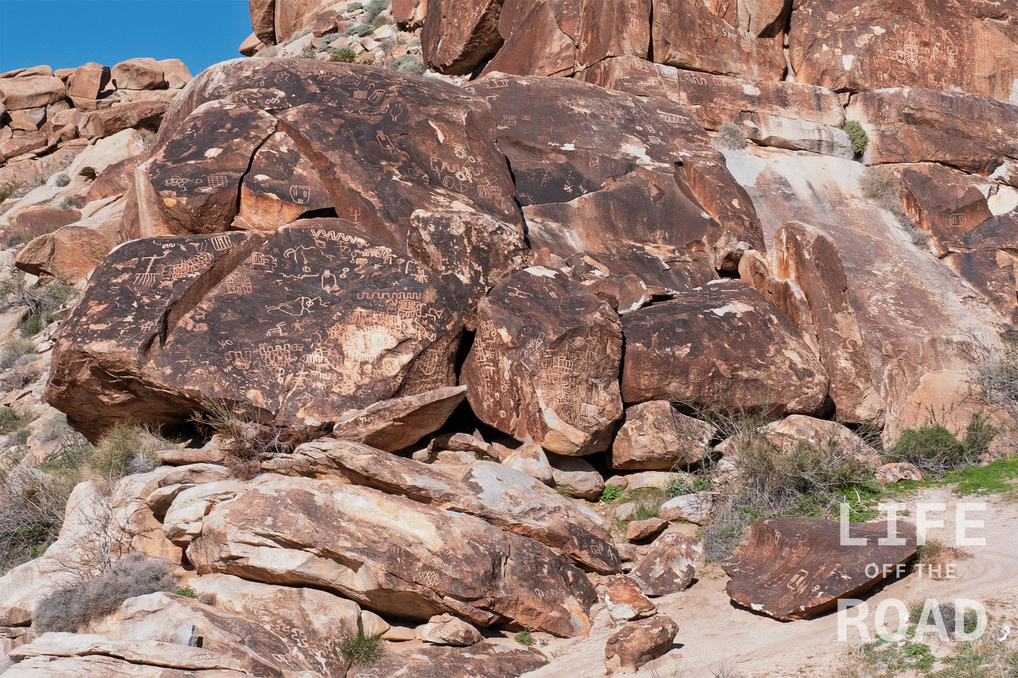
Just north of Laughlin, NV on Christmas Tree Pass Road are the Grapevine Canyon Petroglyphs. These were some of the best petroglyphs that I have seen outside of Utah, and are well worth the short drive and easy hike into the canyon.
Category: Nevada
These are posts and images from Nevada
-
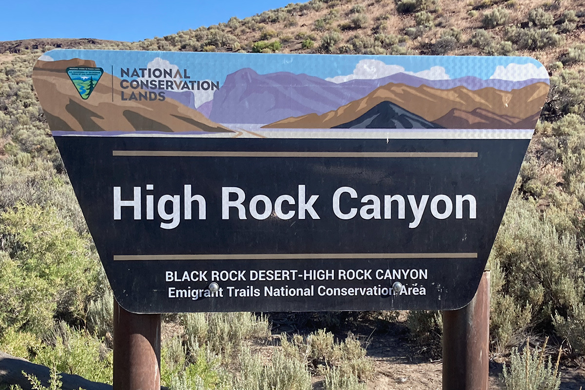
High Rock Canyon Jeep Badge of Honor Trail
Tucked away in northwest Nevada is a newly designated Jeep BoH trail called High Rock Canyon. Seemingly in the middle of nowhere, this roughly 15-mile trail follows the 1846 section of the Applegate Trail along High Rock Creek. As Jeep trails go, this is a fun one with several water crossings as you travel along the creek, lots of interesting rock formations and colors from the different minerals leaching out of the rock, and a bit of sand. Jeep rates the trail a 3-4 is difficulty and I would say that is about right. It is probably closer to a 4 when the trail opens in May (higher water and mud) than it is in late June, which is when I ran the trail.

One of several water crossings along the High Rock Canyon Jeep Badge of Honor Trail The wagon road roots of this trail are clearly evident in its narrowness and the way it meanders along the canyon shelves. It takes a good two hours to run the (roughly) 15-mile long trail, which speaks to the rugged terrain. It is not a technical trail, though, so massive tires and lockers are not required. A full tank of fuel will be very helpful.

Fox Homestead / Yellow Rock Canyon is about halfway through the trail, and camping is allowed here You will want a plan to get from the northern end of the trail to wherever it is you intend to go. The primary road goes around the High Rock Canyon Wilderness to the west and connects to Road 34 / Leadville Road, which is a major thoroughfare. As I was headed home to Oregon, I followed the road north – northwest to Cedarville (roughly 55 miles from the end of the trail) and connected to the Northern California Backcountry Discovery Route at the intersection of Highways 299 and 395.